|
From Wikipedia, the free encyclopedia
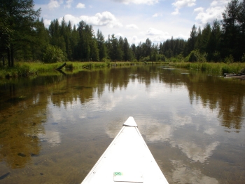
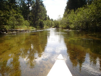
The Manistee River in the U.S. state of Michigan, runs approximately 232
miles through the northern Lower Peninsula, through the villages of Sharon,
Smithville, Mesick, and enters Lake Michigan at Manistee. It is considered,
like the nearby Au Sable River, to be one of the best trout fisheries
east of the Rockies. The river rises in the sand hills in southeastern
Antrim County, on the border with Otsego County, about six miles southeast
of the town of Alba. These deep glacial sands provide it with a remarkably
stable flow of clean cold water year round, making it a popular river
for fishing as well as canoeing. Over the course of its length, it drops
in elevation from around 1300 feet to 582 feet, with an average stream
gradient of about 2.9 feet per mile.
|
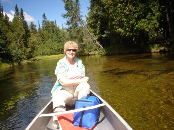
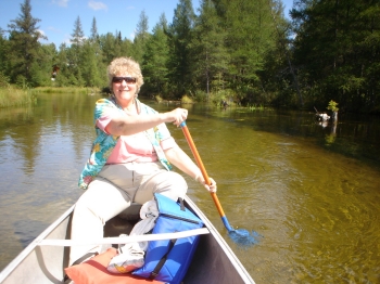
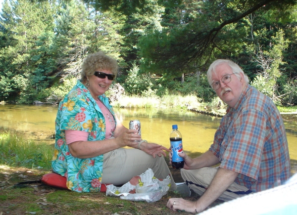
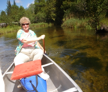
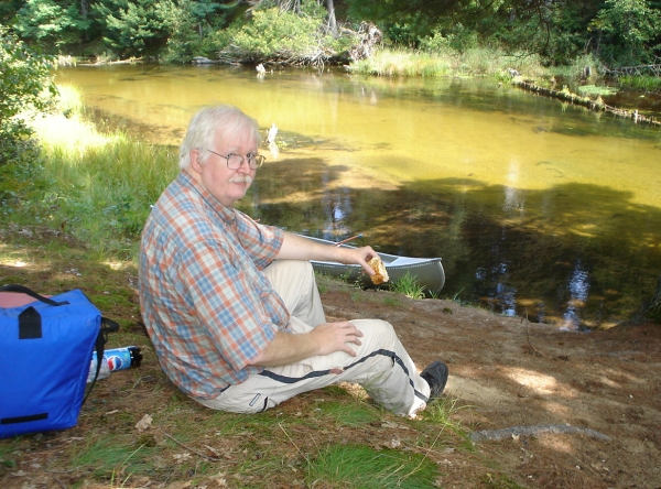
| Trip - Bill's Birthday 2006 |
| Date: August 27, 2006 |
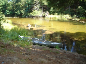
| Start: Cameron Bridge |
| Finish: Long's
Canoe Livery |
| Miles: 15 |
| With: Leslie & William Eubank |
|